Kenya's short rains have begun, and forecasters expect El Niño to make them wetter than normal across much of the country.
The rains are already under way in 24 counties across the Coast, western Kenya and parts of the Rift Valley, the Kenya Meteorological Department said in its outlook for the season.
Where and when
The Met department says rain has started in counties including Kakamega, Bungoma, Busia, Siaya, Kisumu, Homa Bay, Migori, Kisii, Nakuru, Uasin Gishu, Narok and the coastal counties of Mombasa, Kwale, Kilifi and Lamu.
Marsabit, Mandera, Wajir, Garissa and Isiolo are expected to see onset in the first or second week of October. Most remaining counties follow this week or next. Turkana and Samburu are expected last, in the third or fourth week of October.
The season is expected to run into January in central, western and eastern counties, and to end in early December in the north-east.
Above-average rain, and flood risk
Above-average rainfall is expected across a wide band of counties, including Nairobi, Kiambu, Murang'a, Nyeri, Kirinyaga, Embu, Meru, Machakos, Makueni, Kajiado, Tana River, Garissa, Wajir, Mandera and the Coast.
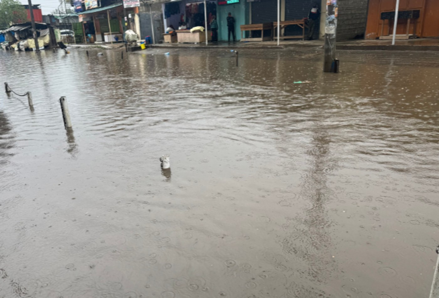
The Met service warned of flooding, waterlogging and landslides in low-lying areas and near rivers, and of crop diseases and disruption to farming. Turkana and Samburu are expected to receive poor to fair rains.
Acting head Edward Muriuki said county-specific weekly and monthly forecasts are available from county directors of meteorological services.
The World Bank's warning
The World Bank's latest Food and Nutrition Security Update warns that El Niño conditions are strengthening and will persist into early 2027.
It warns of reduced rains and high temperatures lowering yields in parts of the region, alongside higher flood risk in eastern East Africa where rainfall may be above average. The effects will be uneven.
The update estimates that 62 million people in East and Southern Africa will need urgent food assistance by March 2027.
What the money and the forecast mean
The two warnings point in different directions for different places. Much of Kenya may get too much rain in a short time, while some northern areas may get too little.
That is why national averages are not useful to a farmer or a county planner. The county forecasts are what matter for planting, livestock movement and evacuation planning.
Any emergency money raised for the El Niño response, whether from the Treasury, counties or development partners, should be public: what it is for, which counties receive it, and how it is accounted for. Emergency money has in the past been hard to track once it reaches implementing agencies.
Previous El Niño seasons are a warning. Heavy rains during the 2023 short rains season caused deadly floods and displaced many families across the country, and the April–May 2024 long rains brought further deadly floods, including in Nairobi's informal settlements.
Those events showed that drainage blocked by construction, settlements on riverbanks and weak early warning to residents were among the main causes of loss of life. Each of those is a county and national planning issue that can be addressed before the rains peak.
What counties should be doing now
County governments are responsible for much of the practical response: clearing drains, identifying evacuation centres, pre-positioning supplies and warning residents in flood-prone areas.
Money is the other half of preparedness. The County Governments Act and the Public Finance Management Act allow counties to hold emergency funds, but drains are cleared and culverts repaired only if budgets are released before the rains peak, not after the first floods. County assemblies can ask their executives this month how much has been set aside for flood response, how much has actually been spent, and which known flood spots have been dealt with since the 2024 long rains.
Residents can ask their county disaster management office and ward administrators whether drainage has been cleared in known flood spots, and where the nearest evacuation point is.
Schools in flood-prone areas also need plans, because the season overlaps with the end of the school year and national examinations.
What households can do
People living near rivers, in valleys or on steep slopes should watch for county alerts and be ready to move to higher ground. Do not cross flooded roads or rivers on foot or by vehicle; many flood deaths happen this way.
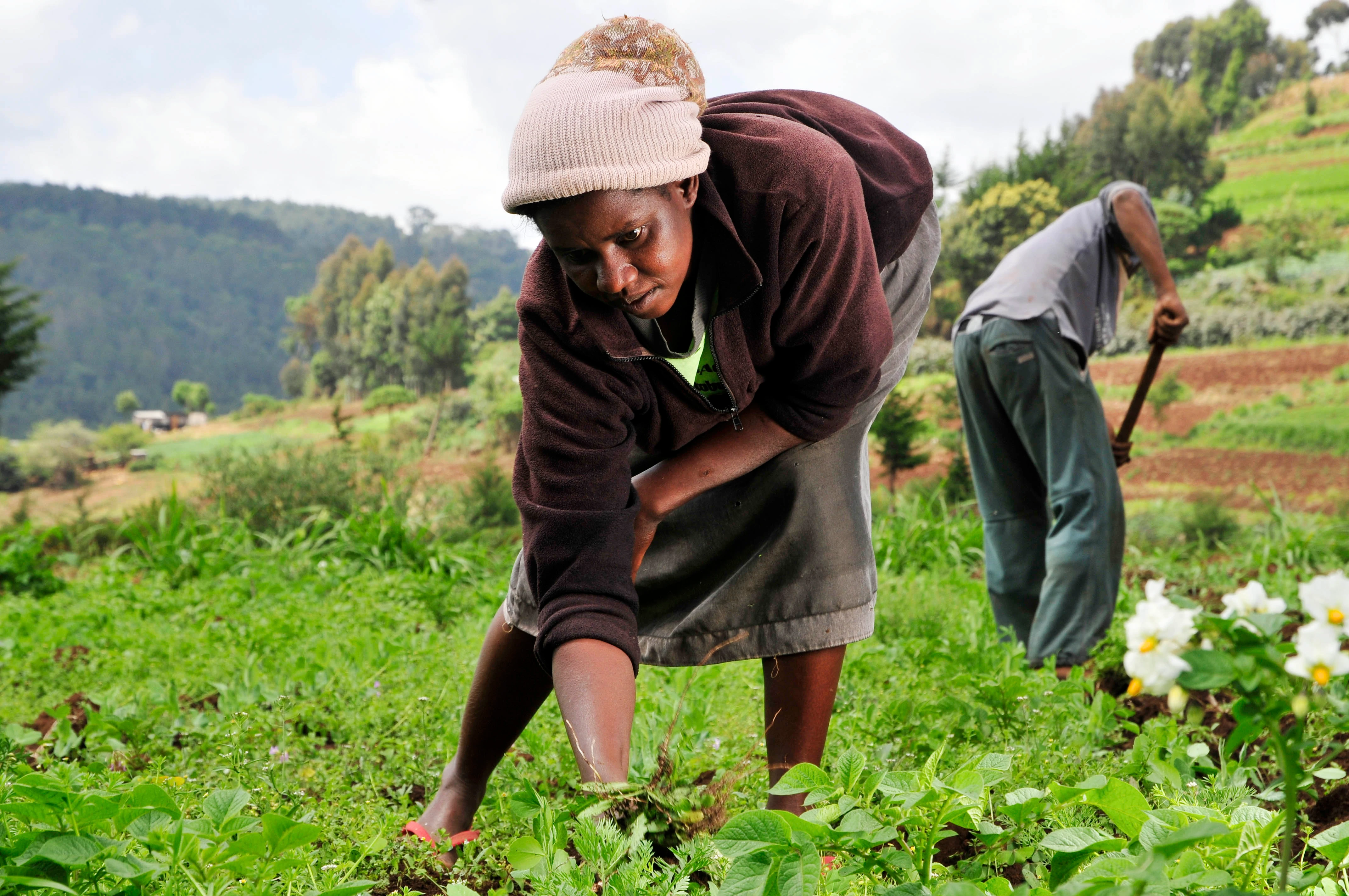
Farmers can use the county forecasts to time planting, and should store seed and fertiliser above flood level.
Livestock keepers in the north face a different calculation. Where rains are good, pasture will recover. Where they fail, as forecast for Turkana and Samburu, herders may move animals over long distances, which can increase tension over grazing and water.
Health risks also rise in wet seasons. Floods can contaminate water supplies and increase cholera and malaria cases. With Ebola surveillance already stretching the health system, counties will need to manage several risks at once.
Road users should expect disruption. Flooded roads and washed-out bridges are common in El Niño seasons, and the Kenya National Highways Authority and county roads departments should publish closures quickly so that travellers and transporters can plan.
What to watch
First, weekly county forecasts and any flood alerts from the Met department and the National Disaster Operations Centre.
Second, whether the Treasury announces emergency financing for the El Niño response, and how any such money is allocated and accounted for.
Third, food prices. A poor harvest in some areas and disrupted transport in others could push up prices into early 2027, at a time when inflation is already rising.
Photo details
WHAT TO WATCH NEXT
- The October–December short rains have started in 24 counties and are expected to be wetter than normal across much of Kenya.
- Turkana and Samburu are expected last and to receive poor to fair rains.
- The World Bank's Food and Nutrition Security Update says 62 million people in East and Southern Africa may need urgent food aid by March 2027.
- County forecasts and county disaster offices are the key sources for residents.